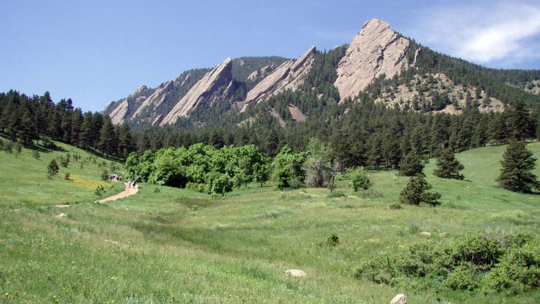
Hiking in Boulder, Colorado

- Click here to learn more about things to do in Boulder, Colorado
About This Map
This map shows all the best hiking and multi use trails in and around the city of Boulder, Colorado. On this map there are data layers displaying recreational areas, trails, and trailheads. Each one is seperated out by its own attribute. The recreational areas are based off land type, trails are based off length, and trailheads are based off elevation.